EARTHQUAKES IN RANGE
1 RECORDED · 1 IN REACH · SINCE 1 OCT
Catalog earthquakes close and strong enough to reach this station. Recorded: it triggered as the waves passed. Below trigger: beyond its expected reach and no trigger, but its sensor read above its quiet background when the waves were due.
Magnitude 4.348 KM N OF CHARLOTTE AMALIEU.S. VIRGIN ISLANDS · USGS19 NOV · 09:06:34120 KMRECORDED
DATA & TOOLS
FDSN GW · UYEXQ · 00
Open data from this station: SAC files for every trigger, StationXML metadata and a live SeedLink stream.
NEAREST STATIONS
5 CLOSEST ON THE NETWORK
The GeoShake stations closest to this one, measured in a straight line.
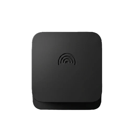
GEOSHAKE T1
PUT A STATION ON THE MAP WHERE YOU LIVE
A seismometer for your home. It joins the early warning network, where alerts can reach phones seconds before strong shaking, depending on distance. It gets its own live page here, like this one.
SET UP WITH THE APP OVER WI-FI · OPEN-SOURCE FIRMWARE